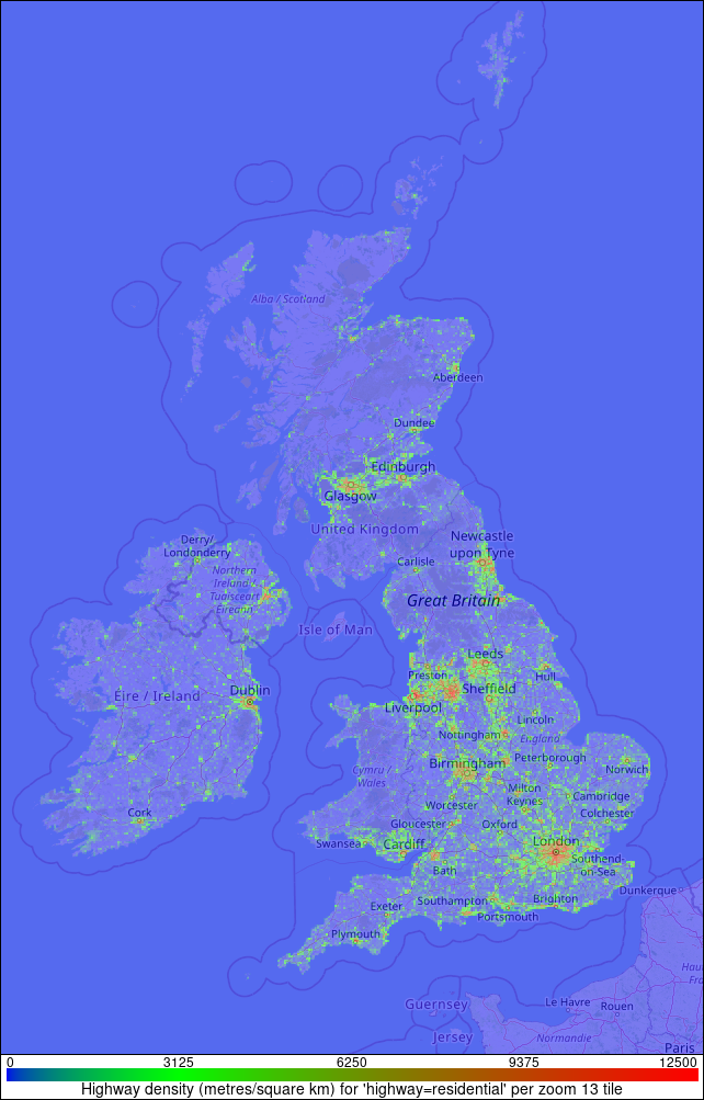
Highway 'RESIDENTIAL' Map
This image shows the density of highways of type RESIDENTIAL in the Routino UK example database generated from the OpenStreetMap data for the UK. The locations are mapped into a zoom level 13 map tile (2.0x2.0 pixels on this scale) and the colour indicates the density of the particular type of highway measured in metres of highway per square kilometre within the tile.
